Worst areas in Birmingham is an intriguing issue attracts residents and visitors at home and abroad. Birmingham is a city and metropolitan borough in the metropolitan county of West Midlands in England. It is the second-largest city in Britain – commonly referred to as the second city of the United Kingdom. Located in the West Midlands region of England, Birmingham is considered to be the social, cultural, financial and commercial centre of the Midlands. Birmingham’s economy is now dominated by the service sector. However, like any major urban center, it also has places that face significant socio-economic challenges. Some areas struggle with higher crime rates, economic deprivation, and a lack of investment, which can contribute to a reputation as being among the worst places in Birmingham.
This blog selects and analyzes top 10 worst places in Birmingham detailedly with factors that contribute to their struggles serving as a comprehensive guide, helping you have a better command of Birmingham. If you want choose Birmingham as your tourist spot or educational destination, you ought to read this blog carefully.
Top 10 Worst Places to Live in Birmingham UK
Top 1. Aston
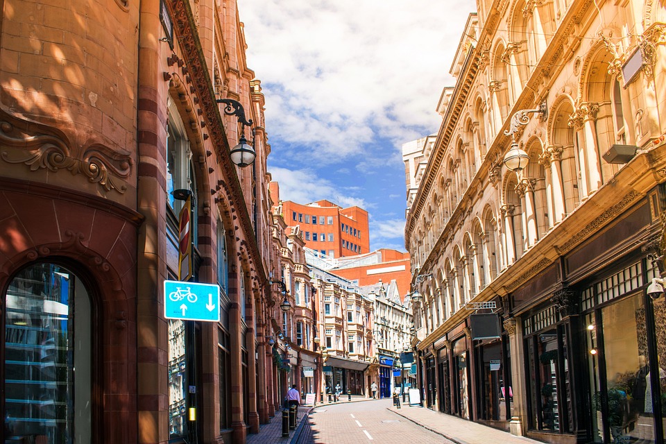
- Total Criminal Incidents: 5,939
- Anti-Social Behaviour: 368
- Burglary: 245
- Criminal Damage and Arson: 414
- Drugs: 194
- Possession of Weapons: 171
- Robbery: 243
- Violence and Sexual Offenses: 2,476
Aston is an area of inner Birmingham in the county of the West Midlands, England. Located immediately to the north-west of Central Birmingham, Aston constitutes a ward within the metropolitan authority. Aston Cross was once the home of Ansells Brewery and HP Sauce. Aston Hall is a Grade I listed Jacobean house in Aston, Birmingham, England, designed by John Thorpe and built between 1618 and 1635. It is a leading example of the Jacobean prodigy house. It is a very ethnically diverse community with 44% of the population born outside the United Kingdom. The largest ethnic group was Asian at 69.1%. More specifically, the Pakistani ethnic group was the largest at 30.9% of all Asians. Black British was the second largest ethnic group at 16.4%. White British was the third largest ethnic group at 7.8%.
Crime levels in Aston have remained stagnant in recent years. The majority of the crime is of the nature of violence, antisocial behaviour, vehicle crime, and robbery.
Top 2. Bordesley Green
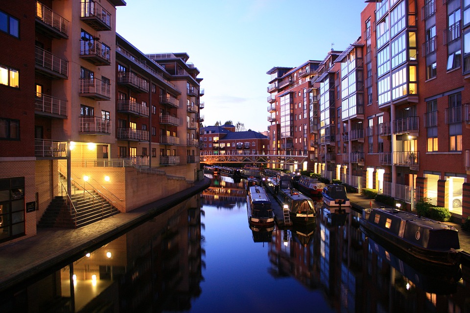
- Total Criminal Incidents: 3,754
- Anti-Social Behaviour: 203
- Burglary: 139
- Criminal Damage and Arson: 278
- Drugs: 149
- Possession of Weapons: 119
- Robbery: 61
- Violence and Sexual Offenses: 1,837
Bordesley Green is an inner-city area of Birmingham, England about two miles east of the city centre. It also contains a road of the same name. It is in the Bordesley Green Ward which also covers some of Small Heath and Little Bromwich. Bordesley Green East is in the Heartlands Ward. The bedrock geology of the area consists predominantly of Sidmouth Mudstone Formation. Heartlands Hospital is located in the eastern part of Bordesley Green. The area is also served by Yardley Green Medical Centre and Omnia Practice. Kingfisher Country Park covers the River Cole recreation grounds which are partially covered by the area’s boundaries. Bordesley Green has a larger Eastern European community including Romanians, Poles, and Russians settling in the area, but it is still predominantly South Asian. It is one of rough areas in Birmingham.
The bedrock geology of the area consists predominantly of Sidmouth Mudstone Formation. The area features public art with the installation of Ondré Nowakowski’s Sleeping Iron Giant, a large head lying on its side on a mound near the St Andrew’s football ground. Bordesley Green is home to Birmingham Wheels Park, a community motor sport facility that includes an oval race track, outdoor go-kart track, roller derby track, rally school and drifting track.
Top 3. Acocks Green
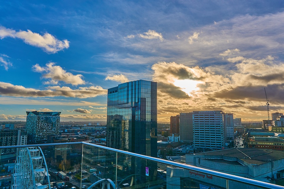
- Total Criminal Incidents: 4,615
- Anti-Social Behaviour: 295
- Burglary: 248
- Criminal Damage and Arson: 333
- Drugs: 119
- Possession of Weapons: 116
- Robbery: 82
- Violence and Sexual Offenses: 2,095
Acocks Green is a suburban area and ward of southeast Birmingham, England. It is one of rough areas in Birmingham. It is named after the Acock family who built a large house there in 1370. It is occasionally spelled “Acock’s Green”. It has frequently been noted on lists of unusual place names. Acocks Green developed north of the current centre at the roundabout where the Warwick Road meets Shirley and Westley Roads. This area was known as Tenchlee or Tenelea, meaning ‘ten clearings’. Acocks Green also has numerous parks and green spots, including Fox Hollies Park in the south which is home to a man-made lake called Round Pool. Acocks Green has seven churches including St Mary the Virgin, Acocks Green, Holy Souls, a Methodist church on Shirley Road, a Baptist church on Yardley Road and the Ghamkol Sharif Mosque. Acocks Green has transport links to Birmingham city centre and Solihull. The Grade II listed police station and courthouse building on Yardley Road was designed by the Worcestershire county architect, Albert Vernon Rowe and built for the Worcestershire Constabulary in 1909.
Top 4. Bartley Green
- Total Criminal Incidents: 3,293
- Anti-Social Behaviour: 187
- Burglary: 178
- Criminal Damage and Arson: 299
- Drugs: 34
- Possession of Weapons: 64
- Robbery: 84
- Violence and Sexual Offenses: 1,591
Bartley Green is a residential suburban area and electoral ward in Birmingham, England, 5 miles south west of the city centre. The ward is part of the Birmingham Edgbaston constituency and is represented in parliament by Labour Co-operative MP Preet Gill. Located to the east is the Weoley ward, to the south is Frankley and to the west is the county of Worcestershire as well as Halesowen and Illey, part of Dudley MBC. To the north is Quinton and Woodgate Valley Country Park. Bartley Reservoir, a reservoir for drinking water, is used by Bartley Sailing Club and nearby schools and clubs for sailing and canoeing. Bartley Reservoir is the place where Bill Oddie did a lot of his early birdwatching, and features in his books and television programmes. Bartley Green has produced sportsmen and women including Fliss Johnson, a former pupil of Woodgate Primary School, who became the English Ladies Amateur Golf Champion in May 2005 and won the BBC Midlands Sports Woman of the Year Award. Birmingham Newman University is a public university based in the suburb of Bartley Green in Birmingham, England. The university has a consistently high graduate employment rate of around ninety to ninety-five per cent. It is one of bad areas of Birmingham.
Top 5. Billesley
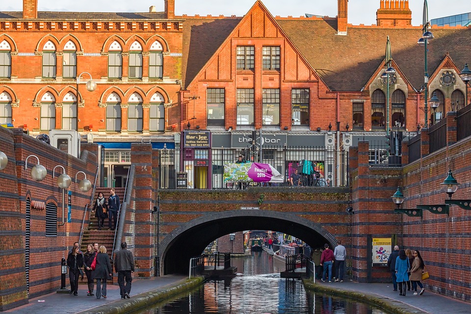
- Total Criminal Incidents: 3,375
- Anti-Social Behaviour: 382
- Burglary: 252
- Criminal Damage and Arson: 266
- Drugs: 36
- Possession of Weapons: 57
- Robbery: 68
- Violence and Sexual Offenses: 1,323
Billesley is a ward within the council constituency and parliamentary constituency of Selly Oak, Birmingham, England. The name derives from an Anglo-Saxon named Bill who established himself within the area. Ley means “woodland clearing” and a woodland clearing is known to have existed in Billesley north of Chinn Brook. It is 4 miles south of the city centre and includes the area of Billesley and much of Yardley Wood as well as the Hollybank Road area of Kings Heath. It is contiguous with the Birmingham wards of Highter’s Heath on the south-west, Brandwood and Kings Heath on the west, Moseley on the north and Hall Green South on the east. To the south-east is the Shirley West ward of Solihull. The suburb of Billesley is the area bordered by Billesley Common, Chinn Brook Meadows, The Dingles and Swanshurst Park although some streets within this area favour the broader B13 moniker of Moseley. Billesley is not an ethnically diverse area with ethnic minorities representing 12.3% of the ward’s population compared with 29.6% for Birmingham. It is one of bad areas of Birmingham.
Top 6. Bournville
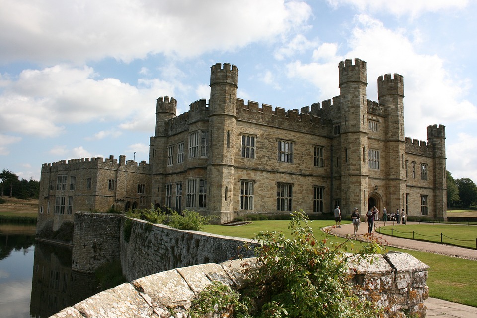
- Total Criminal Incidents: 2,873
- Anti-Social Behaviour: 156
- Burglary: 238
- Criminal Damage and Arson: 228
- Drugs: 41
- Possession of Weapons: 46
- Robbery: 56
- Violence and Sexual Offenses: 1,140
Bournville is a model village on the southwest side of Birmingham, England, founded by the Quaker Cadbury family for employees at its Cadbury’s factory and designed to be a “garden village” where the sale of alcohol was forbidden. Cadbury’s is well known for chocolate products – including a dark chocolate bar branded Bournville. Historically in northern Worcestershire, it is also a ward within the council constituency of Selly Oak and home to the Bournville Centre for Visual Arts and the Cadbury’s chocolate factory. Bournville is known as one of the most desirable areas to live in the UK; research by the Joseph Rowntree Foundation in 2003 found that it was “one of the nicest places to live in Britain”. Bournville has a White broad ethnic group representation of 70.9% of the population. The Asian broad ethnic group was the second largest at 15.4%. Elizabeth Cadbury focused on education and youth work at Bournville. Bournville is served by Bournville railway station on the Cross-City Line to Birmingham New Street, Lichfield and Redditch. Christian churches in Bournville include St Francis of Assisi Church which is also the Church of England parish church. It is one of bad areas of Birmingham.
Top 7. Brandwood
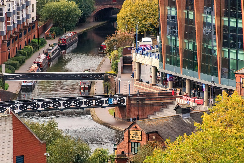
- Total Criminal Incidents: 2,839
- Anti-Social Behaviour: 156
- Burglary: 226
- Criminal Damage and Arson: 316
- Drugs: 45
- Possession of Weapons: 42
- Robbery: 60
- Violence and Sexual Offenses: 1,248
Brandwood is one of 40 wards which constitute Birmingham City Council and is part of the Birmingham Selly Oak constituency. Prior to May 2010, it was a part of the constituency of Birmingham Hall Green. The ward contains a large number of owner-occupied properties around Howard Road, Wheelers Lane, May Lane, Woodthorpe Road, Featherstone Road, Brandwood Road, Lindsworth Road and Alcester Road South, in addition to two big former council estates around Allenscroft Road and Druids Heath, the latter containing 16 high-rise tower blocks. Brandwood is a sub-section area of Kings Heath. The area is served by Druids Heath Library, Cocks Moor Woods Leisure Centre and Golf Course, Baverstock School and Brandwood End Cemetery. Brandwood is not an ethnically diverse community with ethnic minorities representing 12.6% of the ward’s population as opposed to 29.6% for Birmingham. It is one of rough areas in Birmingham.
Top 8. Chelmsley Wood
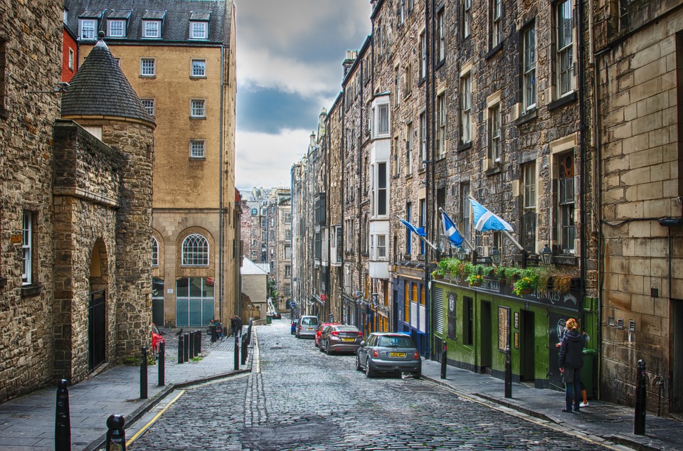
- Total Criminal Incidents: 2,638
- Anti-Social Behaviour: 174
- Burglary: 85
- Criminal Damage and Arson: 244
- Drugs: 48
- Possession of Weapons: 44
- Robbery: 69
- Violence and Sexual Offenses: 1,103
Chelmsley Wood, sometimes called just Chelmsley, is a town and civil parish in the Metropolitan Borough of Solihull, West Midlands, England, with a population of 12,453. The name “Chelmsley” is of considerable antiquity. It indicates a settlement of Saxon origin – the enclosure of Ceolmund. Ceolmund Crescent is the name of the road that passes by the police station and the Post Office Tower in the town centre. It is located near Birmingham Airport and the National Exhibition Centre. It lies about eight miles east of Birmingham and 5 miles to the north of Solihull. The town is also close to both Coleshill and Water Orton in Warwickshire, the county the area was historically part of. National Express West Midlands operate a number of buses in and around the Chelmsley Wood area. North Solihull Sports Centre is the largest and most used sports centre in Chelmsley Wood and its surrounding areas.
It is one of rough areas in Birmingham. The town had for decades had a negative reputation due to being associated with anti-social behaviour and crime although the town has been relatively successful compared to other similar estates across England.
Top 9. Edgbaston
- Total Criminal Incidents: 4,095
- Anti-Social Behaviour: 151
- Burglary: 273
- Criminal Damage and Arson: 244
- Drugs: 69
- Possession of Weapons: 54
- Robbery: 86
- Violence and Sexual Offenses: 1,560
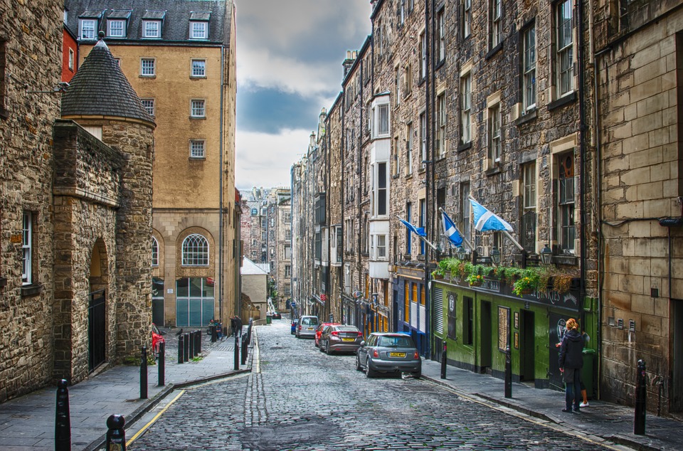
Edgbaston is a suburb of Birmingham, West Midlands, England. It lies immediately south-west of Birmingham city centre, and was historically in Warwickshire. The wards of Edgbaston and North Edgbaston had a combined population of 42,295 at the 2024 census. Edgbaston is the location of Edgbaston Cricket Ground, the University of Birmingham, Birmingham Botanical Gardens, and the Edgbaston Archery and Lawn Tennis Society, the oldest lawn tennis club in the world. Edgbaston has a slightly above average percentage for ethnic minorities with ethnic minorities representing 31.8% of the population as opposed to 29.6% for Birmingham. The largest ethnic minority group was the British Asian group at 16.1%. Warwickshire County Cricket Club is based at the Edgbaston Cricket Ground, the area historically being part of Warwickshire. The Church of England parish churches are St Augustine’s Church, SS Mary and Ambrose, St Germain’s Church, St. George’s Church and St. Bartholomew’s Church, also known as Edgbaston Old Church. Two universities have campuses in Edgbaston, the University of Birmingham and Birmingham City University. It is one of rough areas in Birmingham.
Top 10. Handsworth
- Total Criminal Incidents: 2,025
- Anti-Social Behaviour: 126
- Burglary: 213
- Criminal Damage and Arson: 158
- Drugs: 48
- Possession of Weapons: 32
- Robbery: 66
- Violence and Sexual Offenses: 950
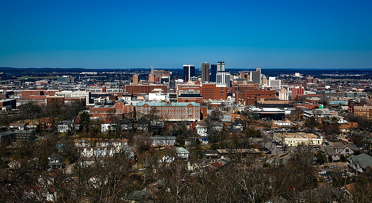
Handsworth is an inner-city area of Birmingham in the county of the West Midlands, England. Historically in Staffordshire, Handsworth lies just outside Birmingham City Centre and near the town of Smethwick. In 2024 the ward had a population of 11,820. Handsworth Park has hosted numerous events: The Birmingham Tattoo, The Birmingham Festival both originally called Handsworth- rather than Birmingham. Among education providers is the Rookery School, a 100-year-old mixed state primary school, still housed largely in its original buildings. It is one of roughest areas of Birmingham.
Factors Cause Worst Places in Birmingham
- Poverty and Economic Deprivation
Areas with higher unemployment rates often have higher levels of poverty. In Birmingham, neighborhoods suffering from a lack of jobs or low-wage employment are more likely to face socio-economic challenges. The shortage of affordable, quality housing can lead to overcrowding and a lack of investment in the area, making neighborhoods less desirable and more prone to decline.
- High Crime Rates
Some parts of Birmingham see elevated levels of violent crime, including stabbings and shootings. These are often related to gang rivalry, territorial disputes, or disputes exacerbated by socio-economic stress.
- Social Exclusion
Social exclusion can manifest in various ways, such as racial, ethnic, or cultural marginalization. Certain communities in Birmingham, particularly those that are economically disadvantaged, may feel isolated or alienated from mainstream society, contributing to a sense of disenfranchisement.
- Youth Disengagement
Areas with schools that consistently underperform or have lower educational attainment levels often see higher dropout rates. Lack of education can lead to lower job prospects, perpetuating cycles of poverty and crime.
- Negative Media Coverage
Areas that are perceived as “high-crime” or “run-down” often face a cycle of stigmatization, which discourages investment and makes it harder for local residents to attract opportunities.
Measures to Improve Worst Places in Birmingham
- Improving Housing
Renovating dilapidated buildings, developing new affordable housing, and ensuring that homes meet modern standards can drastically improve the quality of life for residents.
- Job Creation
Local job creation initiatives, particularly in sectors such as construction, digital technology, and green energy, can provide employment opportunities in economically disadvantaged areas.
- Community Empowerment
Building Strong Community Networks: Empowering local residents to take an active role in improving their neighborhoods is essential for long-term change.
- Improved Mental Health
Providing accessible mental health support can help address issues like depression, anxiety, and trauma, which often contribute to social problems such as addiction or crime.
How to Stay Safe in Worst Places in Birmingham
- Stay Alert and Avoid Isolation
Pay attention to your environment, especially in unfamiliar or dimly lit areas. Avoid distractions like looking at your phone when walking. If you’re walking through an area known for safety concerns, it’s always safer to travel with others.
- Plan Your Routes
Public transportation is often safer, especially during the day, as stations and buses are usually populated with people.
- Protect Your Personal Belongings
Avoid displaying expensive items like phones, jewelry, or bags in public spaces, particularly in high-risk areas.
- Avoid Conflict
If you find yourself in a potentially volatile situation, stay calm and try to remove yourself from it.
- Trust Your Instincts
If something feels off or you don’t feel safe, trust your instincts and leave the area as quickly as possible.
Conclusion
Worst places in Birmingham are selected and analyzed detailedly in this blog serving as a comprehensive guide, helping you have a better command of Birmingham and Keep yourself secure. If you want choose Birmingham as your tourist spot or educational destination, you ought to read this blog carefully.
After you have decided to pay a visit to Birmingham or go to Birmingham for further education, accommodation is the first and foremost thing. uhomes.com is a platform providing affordable, reliable and comfortable student accommodation in UK.
FAQ
Hodge Hill is the most deprived constituency in Birmingham followed by Ladywood and Erdington. All three areas have IMD scores that would rank them in the top 10% most deprived neighbourhoods nationally.
The poshest areas in Birmingham are Solihull, Bournville, Harborne and Edgbaston.
Squalid slums stretched from the present site of New Street Station to Snow Hill and down into Digbeth and Deritend. However, this was the century when public authorities gradually began to take responsibility for social matters.
Violence and sexual offences is by far the most common type of crime in Birmingham, just as it is across the rest of the country. At a rate of 57.94 per 1,000 people, violence and sexual offences are almost five times as likely to happen as the next most common type of crime in Birmingham.
Harborne. Harborne is an affluent suburb located about 3 miles southwest of Birmingham city centre in the West Midlands region of England. Known for its high quality of life, Harborne is one of Birmingham’s most desirable areas, with a population of around 26,000.
Whether it’s the picturesque canal sides of Brindleyplace, the wide, restaurant-lined streets around Birmingham Cathedral, or the impressive, modern spaces inside Grand Central and the Bullring, Birmingham’s layout is safe and pedestrian-friendly, with well-maintained pavements and pedestrian zones.
In 1862, Elihu Burritt, the American Consul in Birmingham, described the region as “black by day and red by night”, because of the smoke and grime generated by the intense manufacturing activity and the glow from furnaces at night.
